Shop All:
Rand McNallyRand McNally Elementary Political 2 Wall Map Combo
$620.02
$826.69
Item #: 1440888
Specifications
ISBN Number: 9780528027376
UPC: 070609005560
Allergens: Contains No Allergens
Grade Level: Elementary-Middle School
Selling Unit of Measure: Each
Brand Name: Rand McNally
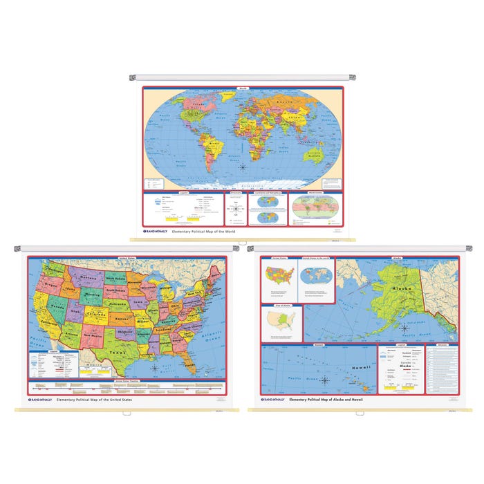
Description: Elementary World/US Wall Map
Material: Paper
Size: 70 x 52 in


